

Flood alert issued for Stoke-on-Trent
By Liana Snape 18th Dec 2025
")


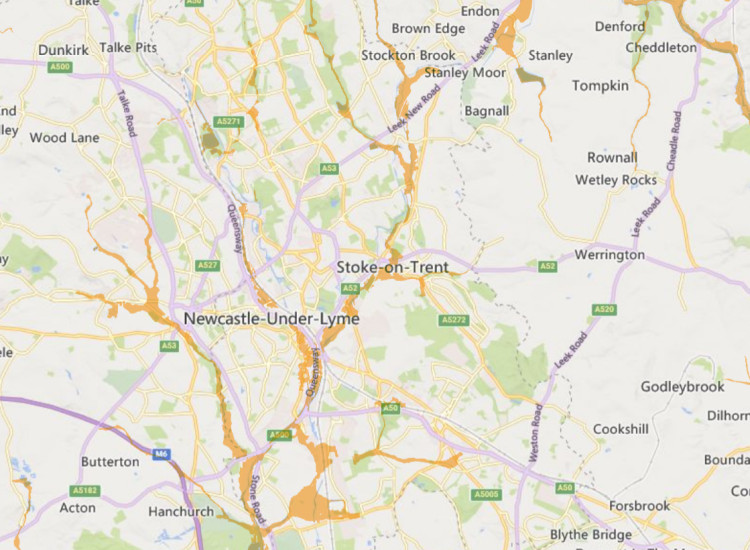
A flood alert has been issued for Stoke-on-Trent following rainfall and high river levels today.
The locations most at risk are low lying land and roads near rivers.
The Government Flood alert said: "Flooding may affect low-lying land and roads adjacent to the River Trent between Norton Green and Darlaston including Stoke on Trent, Lyme Brook between Newcastle under Lyme and Hanford, Fowlea Brook at Stoke on Trent and Ford Green Brook.
"Further rainfall is forecast this afternoon, 18 December, and we are continually monitoring rainfall and river levels.
"Stay away from floodwater - it contains hidden dangers such as open manhole covers, sewage and chemicals. Avoid low lying roads near rivers, which may be flooded."
To view the live flood map in more detail, visit the website here.
CHECK OUT OUR FREE NEWSLETTER!
5 TOP STORIES EVERY FRIDAY!
Click here to sign up: stoke newsletter

Share:

")
")