

The 11 Stoke-on-Trent Green Belt sites where more than 10,000 homes could be built
By Phil Corrigan - Local Democracy Reporter 18th Aug 2025
")


More than 10,000 homes could be built on Green Belt land under Stoke-on-Trent's new planning blueprint.
Stoke-on-Trent City Council's draft local plan earmarks sites where up to 18,528 homes could be built over the next decade and a half.
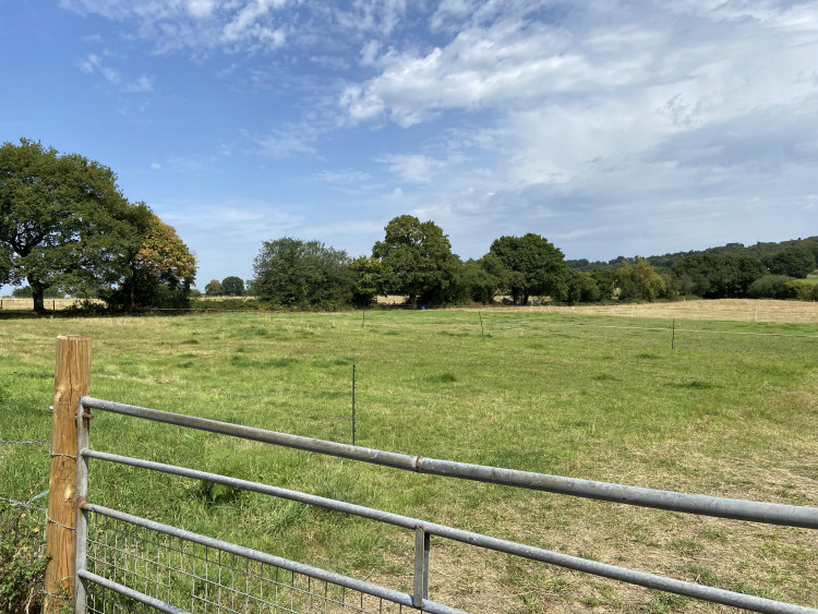
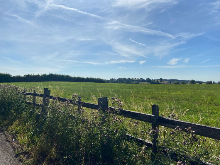
While dozens of brownfield sites are included, up to 10,499 homes – more than half the total – have been allocated to 'broad locations' which are currently part of the Green Belt.
These locations include most of the fields between Lightwood Road and Cocknage Road in Lightwood, where 3,000 homes could be built, and two sites at Norton Green, earmarked for up to 3,097 homes.
Council leaders say that releasing some land from the Green Belt is necessary in order to meet Stoke-on-Trent's housing targets. The government has told Stoke-on-Trent to build 948 homes a year – twice the city's house-building rate over the last few years.
Stoke-on-Trent's local plan will guide all development in the city, including employment sites as well as housing, up to the year 2040. Members of the public will be able to have their say on the draft plan during a six-week consultation, due to start in September.
Cllr Chris Robinson, cabinet member for housing, planning and governance, said: "The local plan aims to support the continued growth of Stoke-on-Trent with the right kind of houses and services while ensuring sustainable development.


"We need to balance economic, social and environmental objectives to meet the needs of today without compromising the ability of future generations to meet their own needs.
"It also supports the principles of healthier communities and is being positively planned to the meet the significant and growing housing needs in the city from all communities. Peoples' views are very important to us.
"So, we are asking everyone to take the time to have their say through the consultation and help to shape our city."
The draft plan includes 62 sites allocated for housing, along with a further five earmarked for mixed developments, which together will provide up to 8,029 new homes. These sites include council-owned land at Packmoor, earmarked for 800 homes, which is the subject of a separate masterplanning exercise.
But land at Berryhill Fields, which was previously earmarked for development and over which residents fought a long-running battle, has been left out of this version of the plan. In addition to the specific site allocations, there are 11 'broad locations' in the current Green Belt, totalling nearly 600 hectares.
Under the National Planning Policy Framework, broad locations are defined as areas identified for potential development, which may take longer to develop than specific sites.
The local plan consultation document states: "The local plan's priority is to maximise the use of brownfield sites within the existing urban area, however it is not possible to meet all of the city's development needs within this area.

"It is proposed to release land from the Green Belt to ensure that there is choice and flexibility in the delivery of housing and employment, including the provision of affordable housing and supporting infrastructure."
Meir South councillor Faisal Hussain is opposed to allocating up to 3,000 homes to the land off Cocknage Road, which would see his ward losing most of its Green Belt land.

He said: "All the Green Belt should be protected. But Angela Rayner has told Stoke-on-Trent that it has to build over 900 homes a year, while reducing the targets for bigger cities where there is more demand. There isn't demand for this many homes in Stoke-on-Trent.
"Developing this land will be bad for the environment, and there isn't the infrastructure in the area for these homes. The council should be looking to develop brownfield land first."
Opposition Conservative group leader Dan Jellyman added: "The council should be looking to build upwards. One of the reasons why we'll hit the housing target this year is the Goods Yard development in Stoke, which is providing 200 homes on a relatively small, brownfield site. We should be doing more of that, instead of this urban sprawl."
The broad locations also include land off Hollywall Lane in Sandyford, where developer Northstone has been consulting the public over its plans to build up to 400 homes. The plan also sets out how 84 hectares of employment land will be provided up to 2040, with 21 sites allocated to this purpose.

In addition to the site allocations, the draft local plan includes a raft of other policies aimed at controlling specific types of development, such as houses in multiple occupation (HMOs).
While the draft plan acknowledges that HMOs do 'serve a purpose', it says that they can lead to poor living standards and social issues. New rules would place a limit on the number of HMOs allowed in a certain area, and prevent three or more adjacent houses being converted to HMOs.
If approved by cabinet next week, the public consultation on the plan will take place from September 8 to October 20.
These are the 11 'broad locations' included in the draft local plan:
Lightwood - 3,000 potential dwellings.
Trentham - 500 potential dwellings.
Caverswall Lane - 305 potential dwellings.
Norwich Road - 73 potential dwellings.
Eaves lane - 1,139 potential dwellings.
Woodhead Road - 425 potential dwellings.
Norton Green South - 2,278 potential dwellings.
Hollywall Lane - 400 potential dwellings.
Chatterley Whitfield -1,500 potential dwellings.
Norton Green North - 819 potential dwellings.
Baddeley Edge - 60 potential dwellings.
CHECK OUT OUR FREE NEWSLETTER!
5 TOP STORIES EVERY FRIDAY!
Click here to sign up: stoke newsletter

Share:

")
 and Burslem Park have been awarded Green Flag status (image via Nub News)")